(Bob Bolton photo)
Dates: July 22-24, 2012
Author: Adam Helman
Sunday, July 22 - Valley County day 1
Yesterday at the trailhead, and before some inebriating beer, I mathematically demonstrate to Bob and Duane that it's energetically sensible to make a dry camp short of Buck Lake even though it entails carrying 6+ quarts of water from the trailhead apiece. We select a saddle 9 miles out (Buck Lake is at 12 miles), and use that as the endpoint of our day's efforts.
A nice break arises in late morning as Bob and Duane cache their packs and climb a P1000 prominence, Pistol Rock, while I wait for them a short distance beyond at a saddle with good views both south and north. Lying down on this flat and level boulder was excellently refreshing...
|
|
|
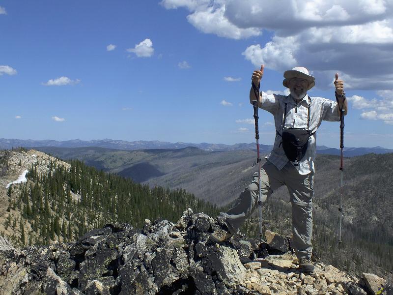
Bob Bolton at Pistol Rock on the first day. (Bob Bolton photo) |
|
|
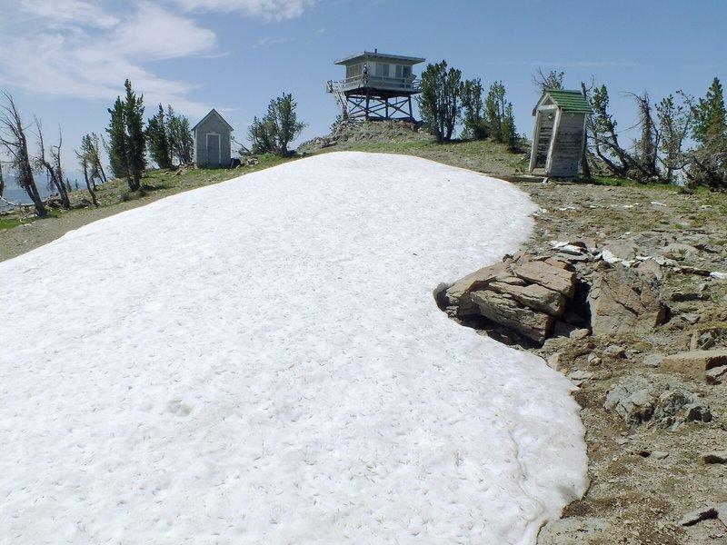
Big Baldy summit area with large snow patch, lookout, outhouse. (Bob Bolton photo) |
|
|
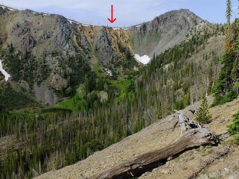
Red arrow points to the trail after it zigzags 600 feet up from Buck Lake. (Bob Bolton photo) |
The return hike to camp includes filling all our water containers at Buck Lake and ascending the aforementioned scree path in the afternoon heat. Ugh! I arrive quite tired, yet feel moderately re-energized after several minutes rest followed by supper. More delectable cinnamon babka is enjoyed for dessert with milk. Both Duane and Bob also enjoy this treat, one that has never failed to please on numerous overnight climbs.
Tuesday, July 24 - Valley County day 3
Our hike out to the cars takes less than five hours as I continue to count the elevation gain. Dean Molen's "Stick a fork in it!" is joyously pronounced, and, after a shared snack session (with hummus) Bob and Duane drive off with the aim of reaching home by bedtime.
Comments One advantage of camping short of Buck Lake is that it avoids ascending the steep scree slope for 600 vertical feet immediately west of the lake on the hike out - with full packs (see photograph). A disadvantage, of course, is the need for conserving every drop of water while at camp - no dishwashing or bathing allowed! Our summit day (the middle of three days) featured an estimated (9,700 - 8,100) + 2 x 1,400 feet = 4,400 feet of total elevation gain. Day 1 is estimated at 2,075 feet of total gain and Day 3 (the hike out) at 1,875 feet. Hence the total elevation gain for Big Baldy was some 8,350+ feet, a value in-between the estimates of Ken Jones and Bob Packard.
|
|
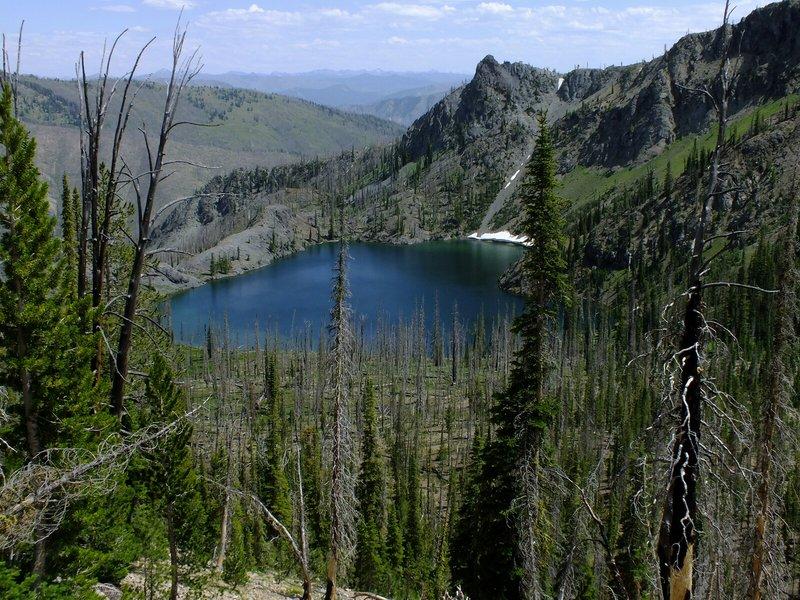
Buck Lake is 12 miles from the trailhead. (Bob Bolton photo) |