from the southwest
(courtesy of Bob Bolton).
Oregon June 2004 Trip Report |
| (Click on any image for enlargement.) |
|
|
|
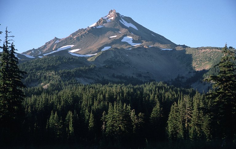
Mount Jefferson in August from the southwest (courtesy of Bob Bolton). |
|
|
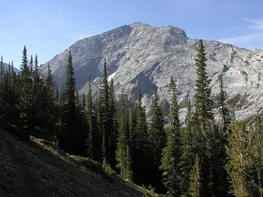
The north face of Sacajawea seen from Thorp Creek (courtesy of Bob Bolton). |
|
|
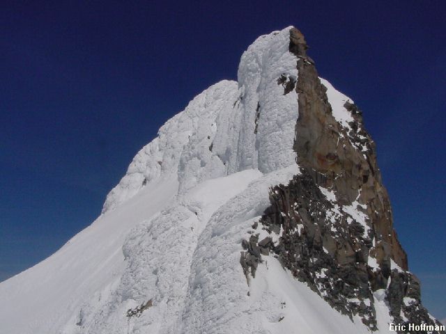
The Pinnacle in May covered in snow and ice. (courtesy of Eric Hoffman). |
|
|
Spanish Peak from one-half mile down spur road 200. |
|
|
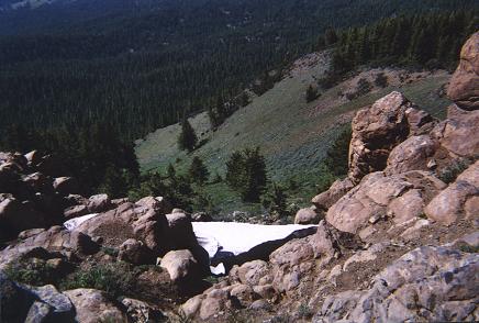
View northwest from the Spanish Peak summit to a late season snowdrift. |
|
|
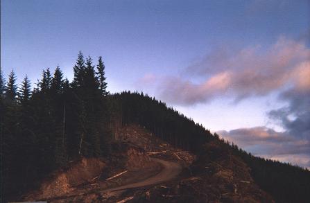
Swaths of cut timber near Rogers Peak of Tillamook County. It is around sunset - about 9 p.m. |
|
|
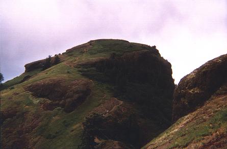
The final 400 vertical feet of Clatsop County's Saddle Mountain. Note the hikers as white specks on-trail. |
|
|
Mount Hood from the summit of Buck Peak in Multnomah County. |
|
|
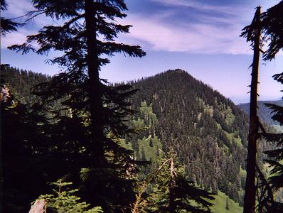
Buck Peak is at right center in this view from the south along the Pacific Crest Trail. |
|
|
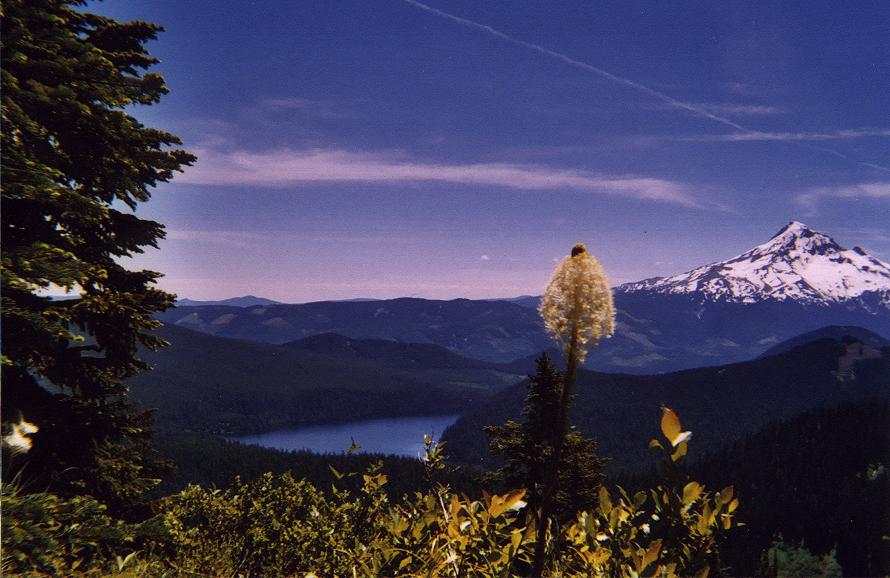
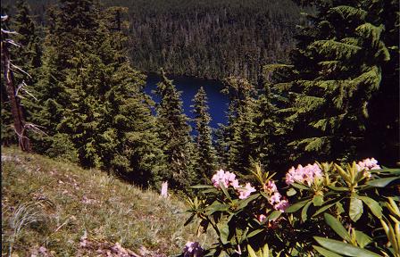
Lost Lake and wildflowers along the Huckleberry Mountain Trail on descent from Buck Peak. |
|
|
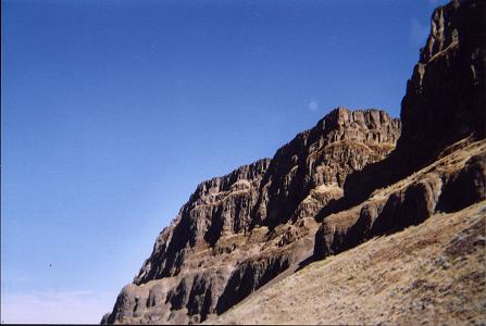
The Columbia River Gorge features many roadside cliffs. Photograph taken on the drive east to Wallowa County. |
|
|
The summit of Marys Peak is humble and unassuming. |
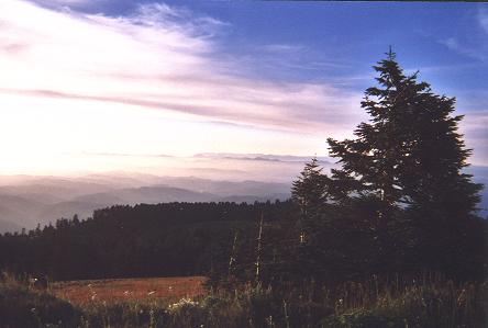
|
|
View northwest from summit of Marys Peak towards numerous Oregon coast ranges. |
|
|
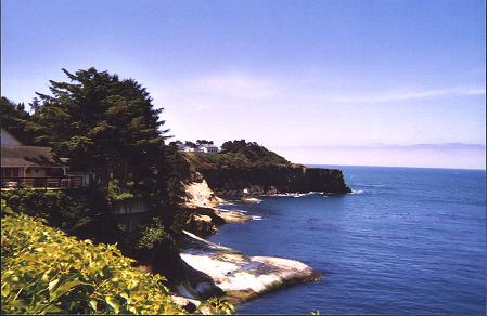
The Oregon coast was a brief diversion from county collecting. |
|
|
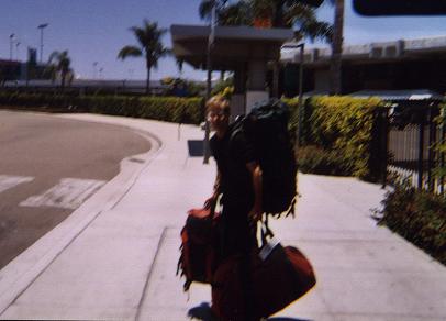
I return to San Diego. The shuttle van concierge moved while photographing me. |