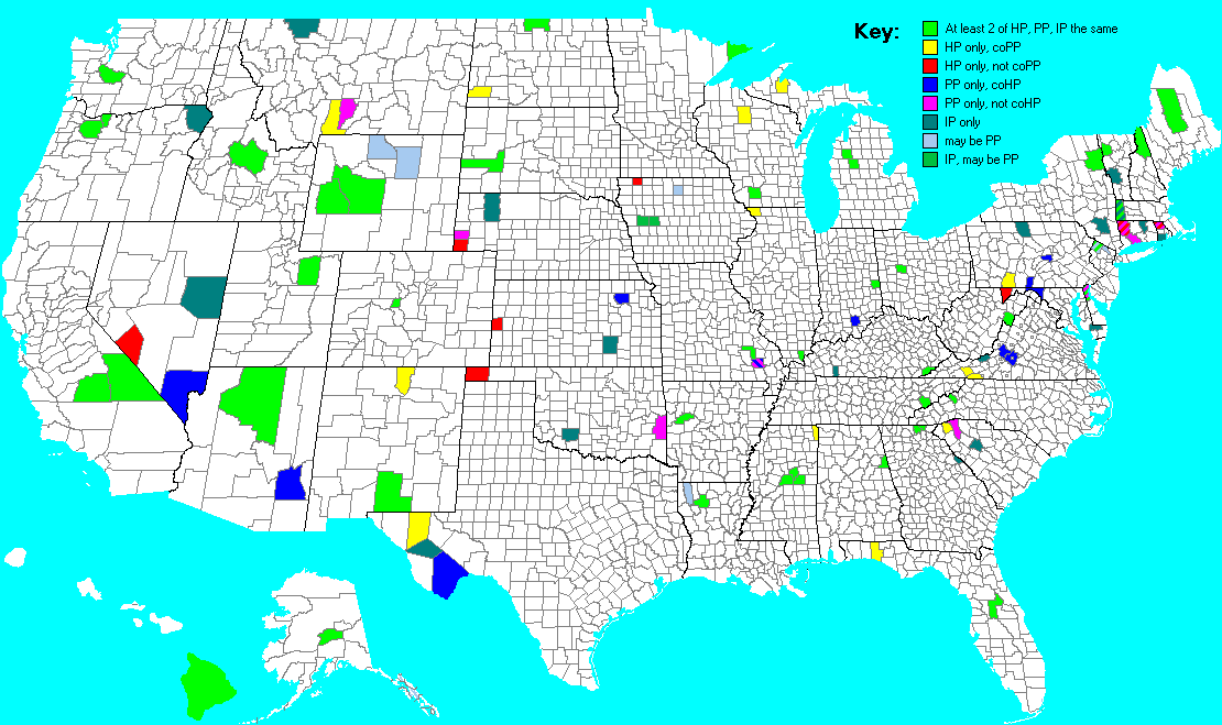
| Explanation This map displays which counties contain each state highpoint ("HP"), state most prominent point ("PP"), and state distance isolation point ("IP"). In the map Legend, "coHP" refers to "county highpoint"; "coPP" to "county most prominent point". Edward Earl created the map. |
| back to Information Map page |