
|
Illinois Main Page | |
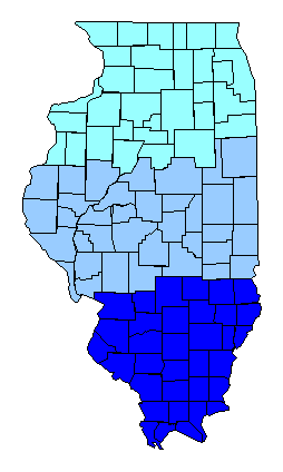
| USA Map / Home Page | Click on a region for highpoint information. |
|
All Illinois county high points were
completed simultaneously on July 30, 2003 by Dick Ellsworth, Jon Mann, John Mitchler, and Tim Worth at Calhoun County. Bob Schwab completed later that year. |
First Ascent List |
| State Hyperlinks / Text-only Home Page | Introduction | Highpoint Superlatives |
| Highpoint Maps | Topographic Prominence | Highpointer Celebrities | Disclaimer |