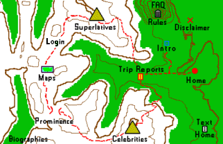
Welcome to the County Highpointers map page. From here you may access
maps that provide general information
for the county highpointing community;
completion maps
that portray individual highpointing accomplishments; and
maps for entertainment purposes
of interest to county highpointers.
Viewers who are chiefly interested in viewing completion maps may wish to bookmark the
completion maps page so as access it directly.
The relevant hyperlinks are reproduced here in list format for convenience -
Map Links
Here is a description of using map and compass
as an essential tool of any outdoors enthusiast. Know these skills before relying
on GPS!!.
Here is a description of GPS (Global Positioning System)
as a navigation aid.
Here is a calculator that
converts latitude and longitude to/from UTM coordinates;
and
converts between NAD27 CONUS and WGS84 datums.
This general map page is the most logical place to include a hyperlink to our
distance calculator. The calculator provides
the distance between any two points on the earth's surface given their
latitudes and longitudes.
The formalism is highly accurate as it accounts for the fact that the earth is
actually squashed with the polar radius being slightly nike shox prezzi less than the equatorial radius.
This ellipsoidal earth approximation, developed by Edward Earl (and many before him)
is sufficiently accurate that answers are reported to the nearest one-hundredth mile.
distance calculator
-- -- -- -- next tour link -- -- -- --

