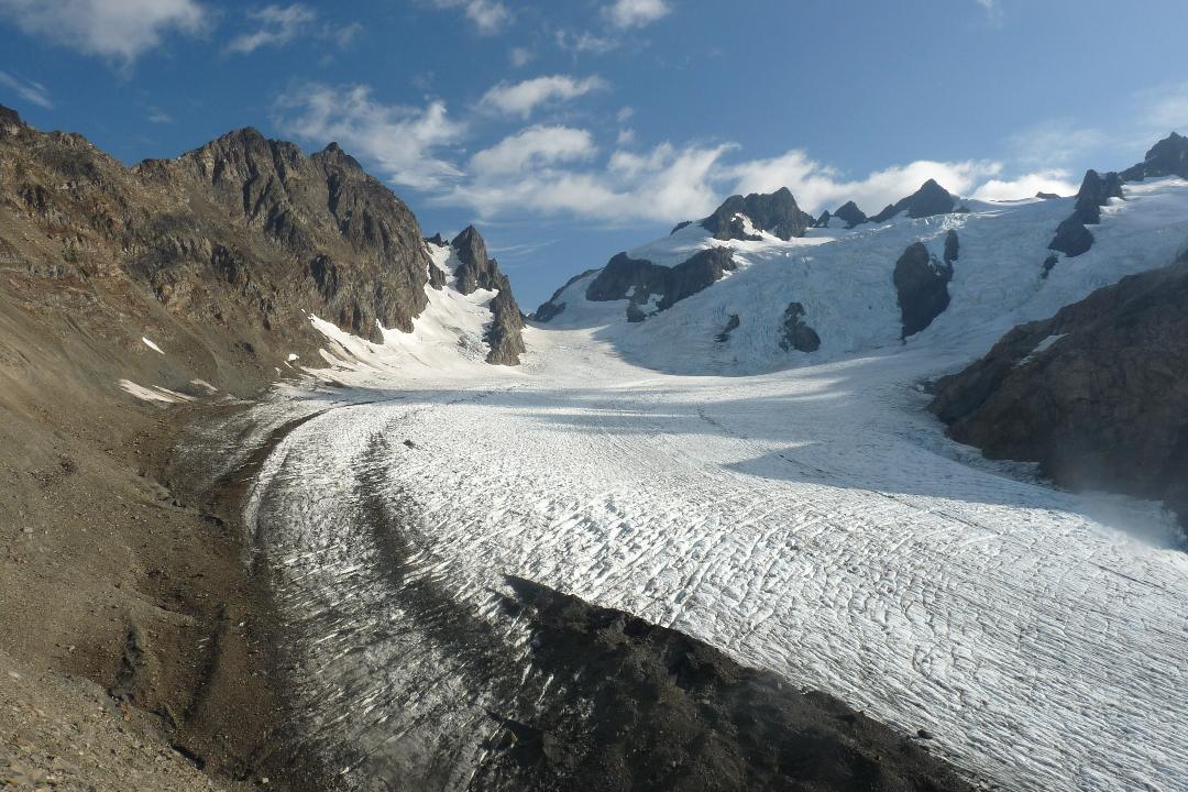
to reach the Mount Olympus summit.
(Don Nelsen photograph.)
|
Northern States late summer 2009 Trip Report © September 2009 Adam Helman |
| (Click on any image for enlargement.) |
|
|
|
The Blue Glacier is crossed to reach the Mount Olympus summit. (Don Nelsen photograph.) |
|
|
|
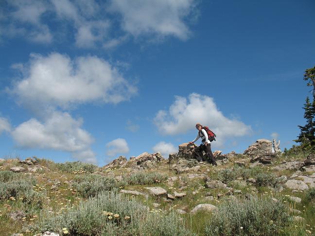
Summit of Garns Mountain with Adam. (Dean Molen photo) |
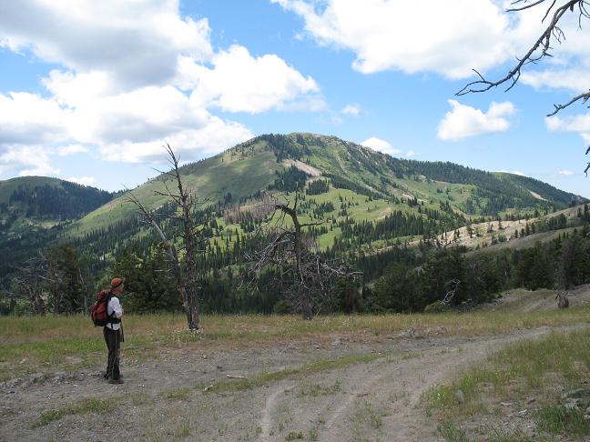
Piney Peak coming from Garns Mountain. (Dean Molen) |
|
|
|
|
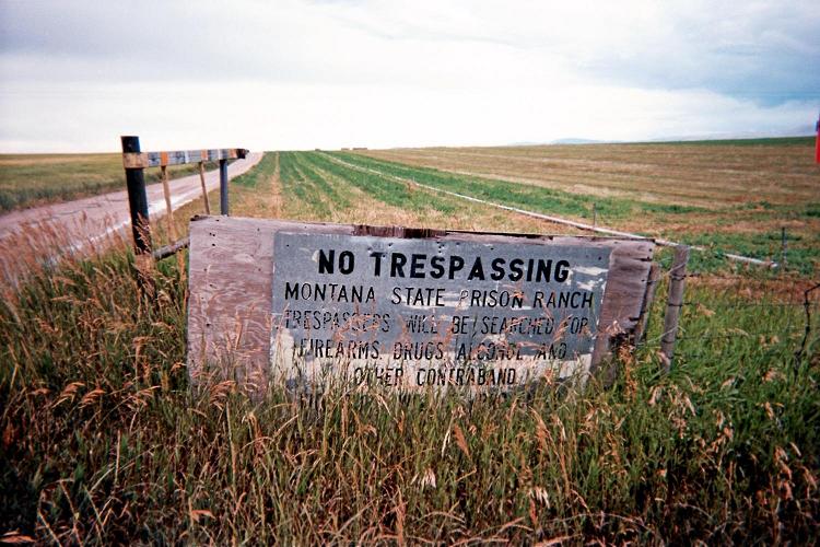
No trespassing onto Montana State Prison land. |
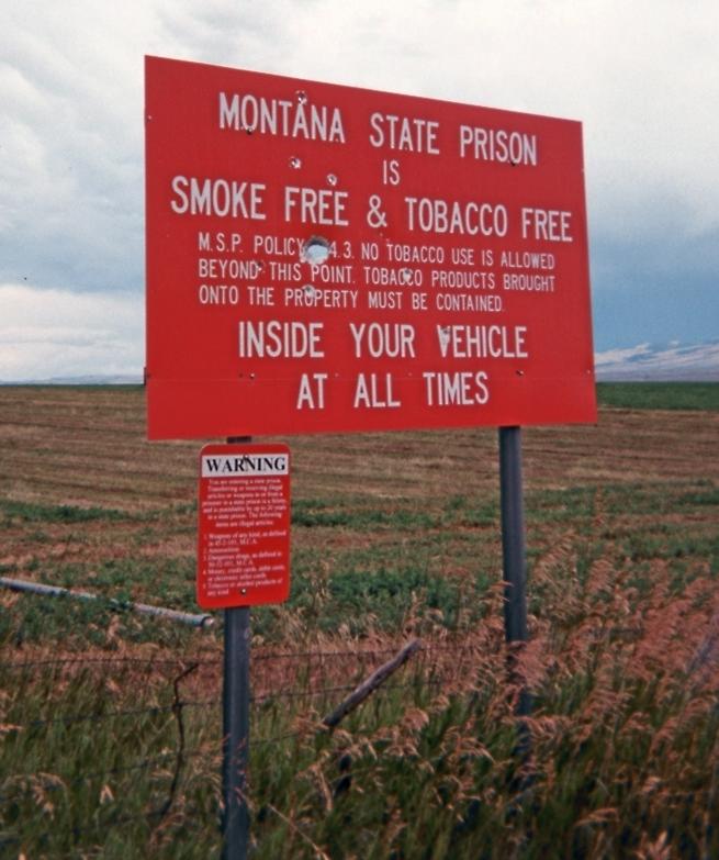
No tobacco on Montana State Prison land. |
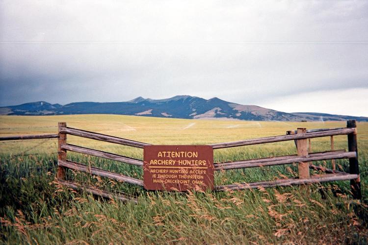
Archery hunters receive special treatment. |
|
|
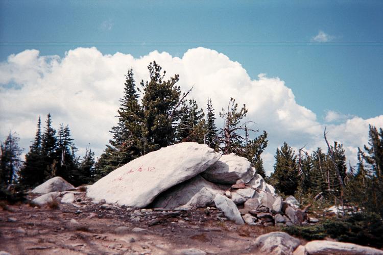
Summit boulder at Moses Mountain. |
|
|
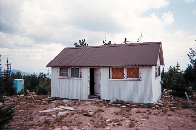
The summit shack atop Moses Mountain... |
|
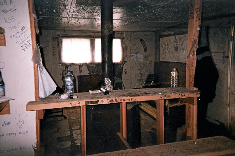
| ... features this spartan interior. |
|
|
|
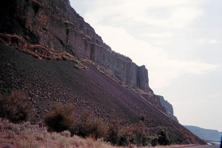
Roadside geology carved by the Columbia River. |
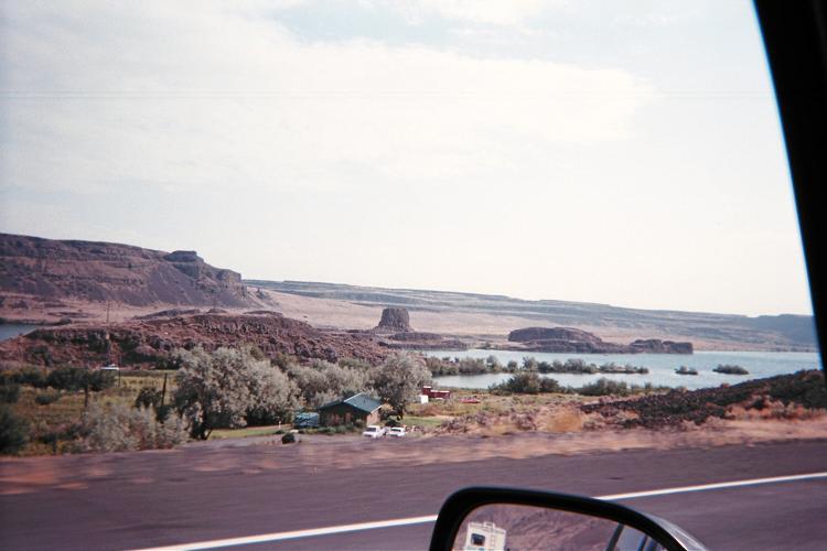
A second example of water's workmanship. |
|
|
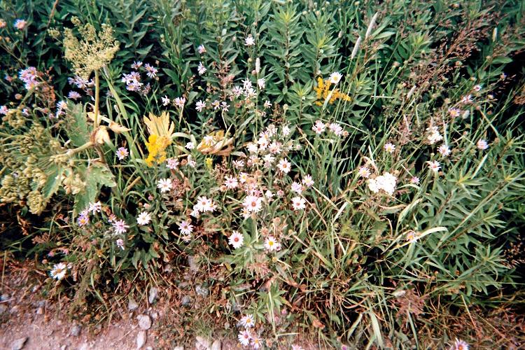
Wildflowers at the Mount Daniel trailhead. |
|
|
|
|
|
|
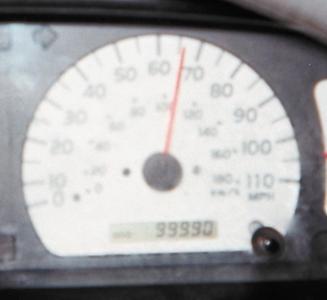
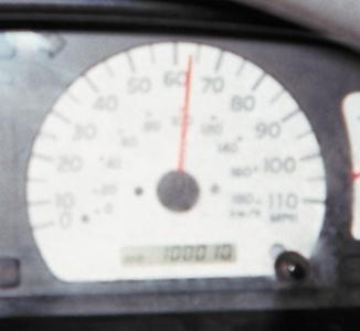
99,990... |
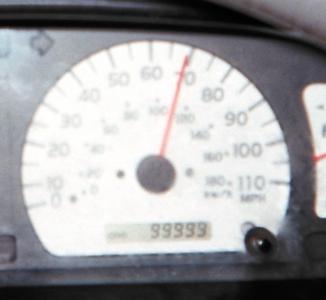
99,999... |
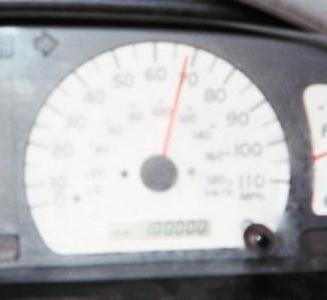
100,000 miles (click to see digits) |
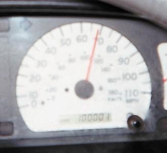
...100,001 |
...100,010 |
|
|
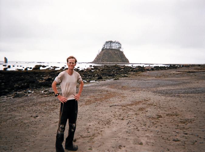
Adam with Cannonball Island at Cape Alava. |
|
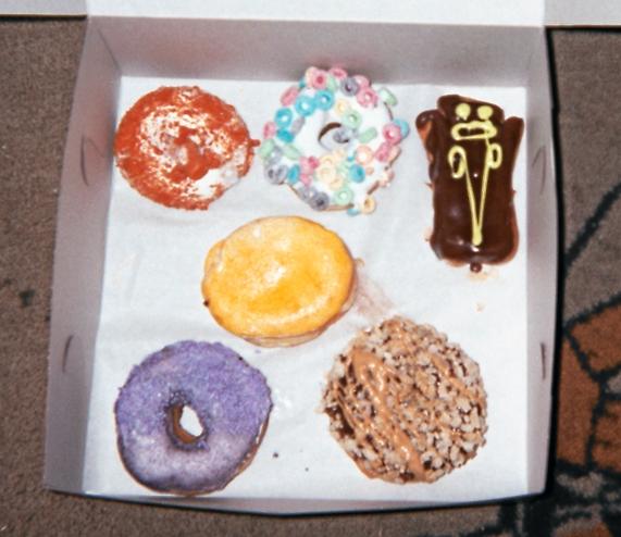
| Six doughnuts purchased. |
|
|
Voodoo Doughnuts, Portland |

|
|
|
|
Aaron (left) and Daniel |
Moshe |
Dale and Isabella |